Pine Flats (ID)
Availability
Each day shows how many of this campground’s sites are open.
About this spot
Overview
Pine Flats Campground is located a few miles west of Lowman, Idaho, along the Banks-Lowman Highway at an elevation of 3,700 feet. Visitors enjoy rafting, kayaking and fishing on the South Fork Payette River, and soaking in the hot springs at the river's edge.
Recreation
The South Fork Payette River flows next to the site, down a small hill, and offers trout fishing, rafting and kayaking. The Danskin River Access area is 5 miles west of the campground. A 1/4-mile nature trail begins in the campground and leads to a natural hot springs soaking pool on the riverside.
Facilities
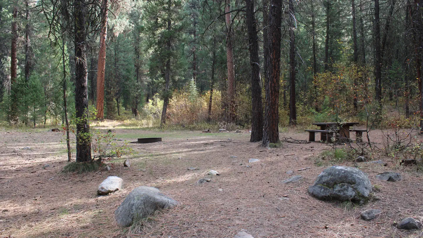
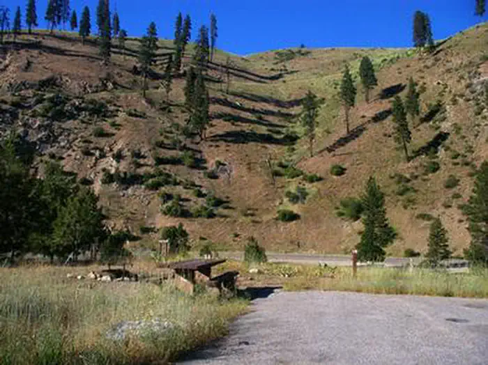
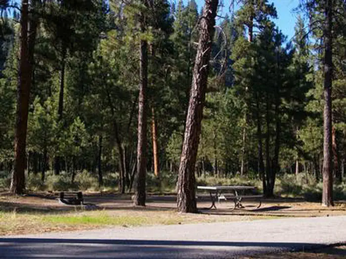
The campground contains several single and double-family sites, most of which are accessible, each with a picnic table and campfire ring with grill. Vault toilets, drinking water and trash collection are provided. Roads and parking spurs are paved, as are some campsite pads.
Natural Features
Towering Ponderosa pines cover the campground, offering partial shade in most sites. Summer wildflowers dot the landscape. Deer and elk may be seen wandering through the campground on occasion.
Nearby Attractions
Numerous natural hot springs pools can be found along the Banks-Lowman Highway, also known as the Wildlife Canyon Scenic Byway. The area offers scenic views, wildlife watching, historical information kiosks and several trail opportunities. Whitewater rafting and kayaking are popular activities on the South Fork and Main Payette Rivers. Several companies in the area offer guided half and full-day trips.
Typical weather
Air temperature
5-year average · Open-Meteo
South Fork Payette River
Water: Water Quality Portal — 48 field-sample stations