Foresthill, CA

Gates Group

ForestRiverside / CreeksideHikingFishingSwimmingPaddling (kayak / canoe / SUP)Motor-boatingMountain bikingHorseback ridingOHV / Off-roadingVault toiletsFire pitDrinkable waterPicnic table

Availability

Each day shows how many of this campground’s sites are open.

About this spot

Overview

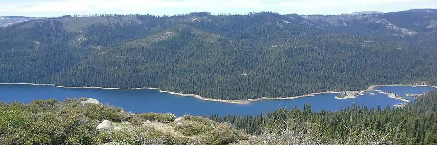
Gates Group Campground is located on the North Fork American River, at the north end of the French Meadows Reservoir in the Tahoe National Forest. It is 40 miles from the town of Foresthill. Visitors enjoy the area for its fishing, boating and trail opportunities.

Recreation

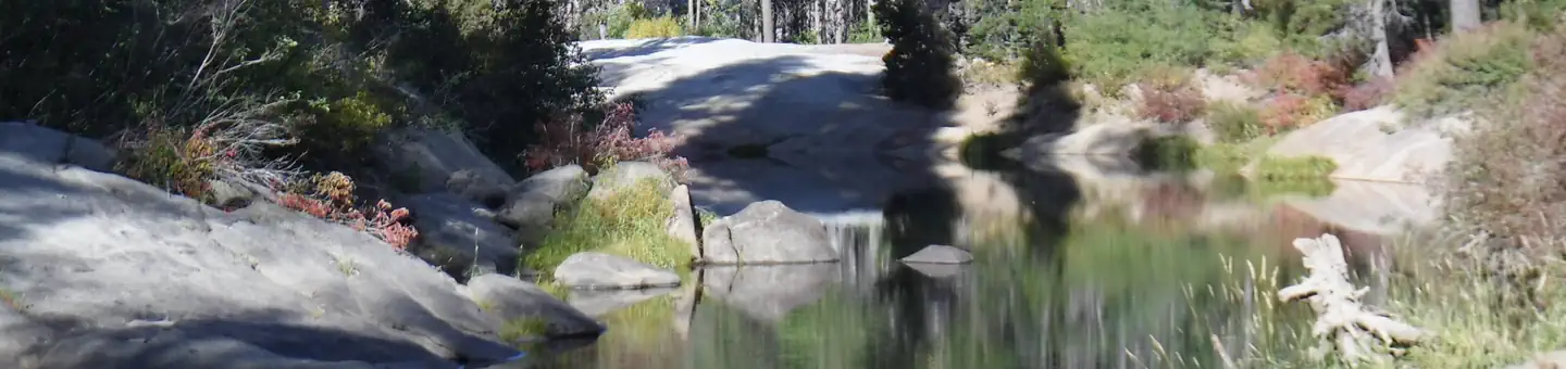
The North Fork American River provides fishing and swimming. The reservoir can be accessed nearby. Popular activities include boating, canoeing, fishing and swimming. Two boat ramps are located within three miles of the campground. A variety of hiking and biking trails are found in the surrounding area, including some that provide access to the nearby Granite Chief Wilderness. Just down the road is the Granite Chief Wilderness which provides amazing hiking opportunities for an adventurous party to explore historic aspen trees and secluded mountain passes and trails. The Western States Trail provides great opportunity for hiker, horseback riders, dirt bikers, and for adventurous maintain bikers.

Facilities

The campground offers three group campsites. Two sites can accommodate up to 25 people and eight vehicles each. Another group site can accommodates up to 75 people and 25 vehicles. Picnic tables, campfire circles and grills are provided, as are vault toilets and drinking water.

Natural Features

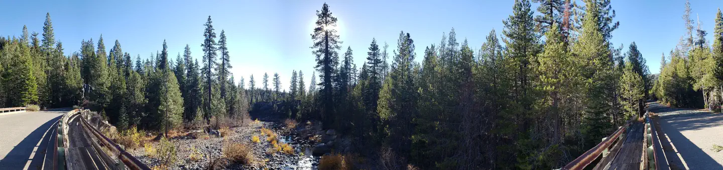
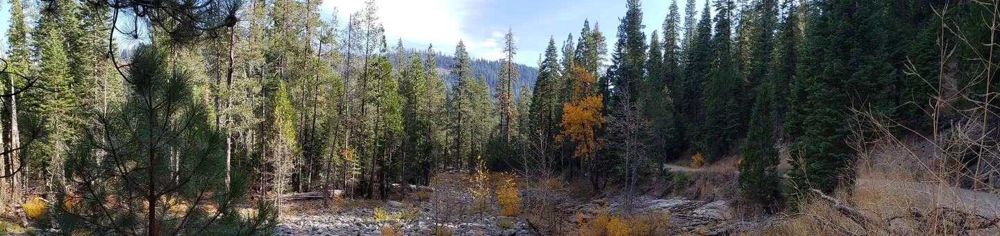
The campground is situated along the river, just north of French Meadows Reservoir. A coniferous forest covers the area. At an elevation of 5200 feet, summertime temperatures are warm in the day and cool at night.
Typical weather

Air temperature

Average daily high-low
Average daily high and low air temperature, January through DecemberEach vertical bar shows a monthly average daily high and low in degrees Fahrenheit.42°28°JJanuary: average high 42°F, average low 28°F42°27°FFebruary: average high 42°F, average low 27°F43°28°MMarch: average high 43°F, average low 28°F51°33°AApril: average high 51°F, average low 33°F63°39°MMay: average high 63°F, average low 39°F74°49°JJune: average high 74°F, average low 49°F83°56°JJuly: average high 83°F, average low 56°F80°54°AAugust: average high 80°F, average low 54°F73°50°SSeptember: average high 73°F, average low 50°F62°43°OOctober: average high 62°F, average low 43°F51°33°NNovember: average high 51°F, average low 33°F46°31°DDecember: average high 46°F, average low 31°F

5-year average · Open-Meteo

North Fork American River

Estimated
Average water temperature
Average water temperature for North Fork American River, January through DecemberEach point shows the monthly average water temperature in degrees Fahrenheit.38°JJanuary: average water temperature 38°F40°FFebruary: average water temperature 40°F44°MMarch: average water temperature 44°F49°AApril: average water temperature 49°F55°MMay: average water temperature 55°F63°JJune: average water temperature 63°F70°JJuly: average water temperature 70°F69°AAugust: average water temperature 69°F63°SSeptember: average water temperature 63°F55°OOctober: average water temperature 55°F45°NNovember: average water temperature 45°F40°DDecember: average water temperature 40°F

Nearby campgrounds