Indian Springs
Availability
Each day shows how many of this campground’s sites are open.
About this spot
Overview
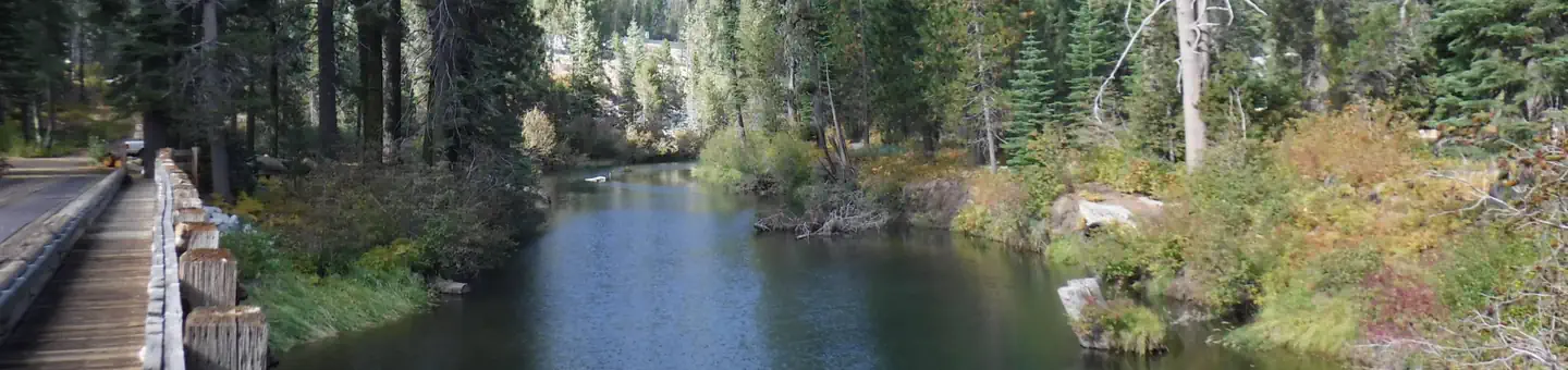
Indian Springs Campground is located in the Tahoe National Forest along Interstate 80 the South Yuba River. It is about three miles west of Big Bend and 23 miles west of Truckee. Visitors enjoy the area for its swimming, fishing, and trail opportunities, as well as its historic significance along the California Emigrant Trail.
Recreation
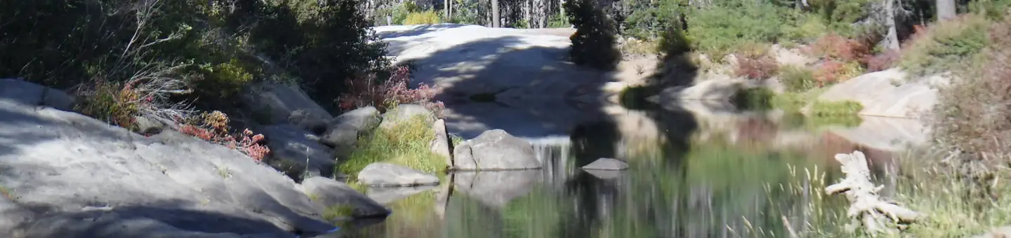
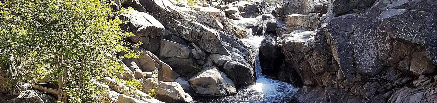
The South Yuba River offers rainbow trout fishing and a popular swimming hole is located alongside the campground in the South Yuba River. The Indian Springs OHV Staging Area is adjacent to the campground and offers access to many OHV trails including the popular Fordyce 4x4 jeep trail. The historic California Emigrant Trail passes nearby. Many additional hiking, biking and off-road vehicle trails are in the surrounding area, including the Indian Springs OHV Trailhead.
Facilities
The campground offers single-family campsites, a few of which are designated as walk-to sites for tent camping only. Each site is equipped with a picnic table and campfire ring. Vault toilets, drinking water and trash collection are provided.
Natural Features
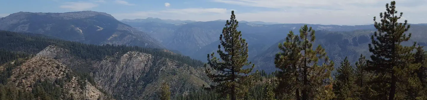
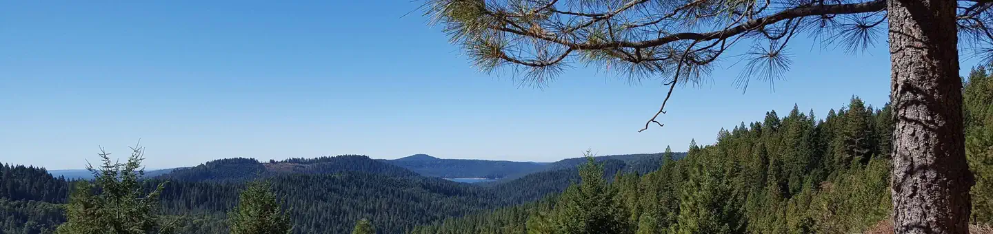
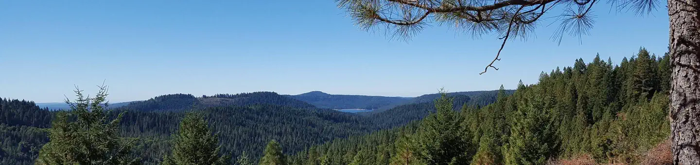
The campground is situated on the north bank of the South Yuba River in a scenic forest of mature cedar and pine trees, which offer ample shade. The elevation is 5,600 feet.
Contact Info
This location is unstaffed. To speak with our main office for general information, please call: (530) 265-4531.
Nearby Attractions
Donner Lake is located 19 miles east via Interstate 80 and historic Route 40, which is also known as the Lincoln Highway, the nation's first transcontinental highway. Many points of interest lie along Route 40, including China Wall, Rainbow Bridge, Sugar Bowl, Lake Van Norden and Ice Lakes. Other attractions include Donner Summit PCT, Loch Leven, and Castle Peak Trailheads, Alpha and Omega Scenic Overlook and Interpretive Trail, Chalk Bluff OHV trails, and Grouse Ridge Non-Motorized Area.
Charges & Cancellations
No Show Policy A no-show customer is one who does not arrive at a campground and does not cancel the reservation by check-out time on the day after the scheduled arrival date (or for day-use facilities, by check-in time the day of arrival). * No-show customers are only recorded at staffed facilities. At most remote facilities, all customers are noted as automatically checked-in on the date of arrival. * It is recommended that staffed facilities hold a campsite until check-out time on the day following the arrival date. * It is recommended that staffed facilities hold group day-use facilities until check-in time on the arrival date. There is no change fee if a customer extends or shortens a reservation if the change includes dates from the original reservation. If they choose to depart early, they may forfeit some or all of the recreation fees. There is no change fee if the customer changes campsites that are the same price and on the same reservation dates in the same campground. If the campsite the customer is changing to has a price difference, the customer will be responsible for any additional fees or be provided with a refund, based on the price difference. Where recorded, no-show customers are assessed a $20.00 no-show fee and forfeit the first night's recreation fee for a campsite or forfeit the entire day-use recreation fee for a day-use facility. We recommend customers contact the facility if they are en route to their reservation but cannot make it by the check-in date. In these cases, no refund will be issued, but the facility can ensure that a "no-show" fee is not assessed.
Typical weather
Air temperature
5-year average · Open-Meteo