Brush Creek Public Use Area
Availability
Each day shows how many of this campground’s sites are open.
About this spot
Overview
Brush Creek is located downstream of Keystone Dam, just 10 minutes from Tulsa, Oklahoma. This park features campground provided activities such as horseshoes, cornhole, a basketball court, a sand volleyball court, a mile-long fitness trail, and quick access to nearby multi-purpose trails. This is a popular destination for fishermen as they have the ability to cross along the pedestrian bridge from the campground to the fishing berm below the dam. In additon to fishing, this area offers prime opportunities to observe multiple wildlife species. Please note when camping here, while typically quiet, water releases from the dam are preceded by several warning signals from a horn. This is a brief safety measure for anyone in or near the water below the dam, and there is no danger to the campground.
Recreation
This park features fishing opportunities with disabled access, a pedestrian bridge, playground, horseshoe, cornhole, basketball court, volleyball court, and a fitness trail. Recreation opportunities that are offered nearby include the Two Rivers Trail, Keystone Singletrack Trail, and White Water Off Road Vehicle Area.
Facilities
This popular, quaint campground features 50 amp electrical service, water hookups, picnic tables, fire rings, grills, and lantern hooks at all sites. Additionally, sewer hookups are included at sites 1-14. This park also offers a restroom/shower facility.
Natural Features
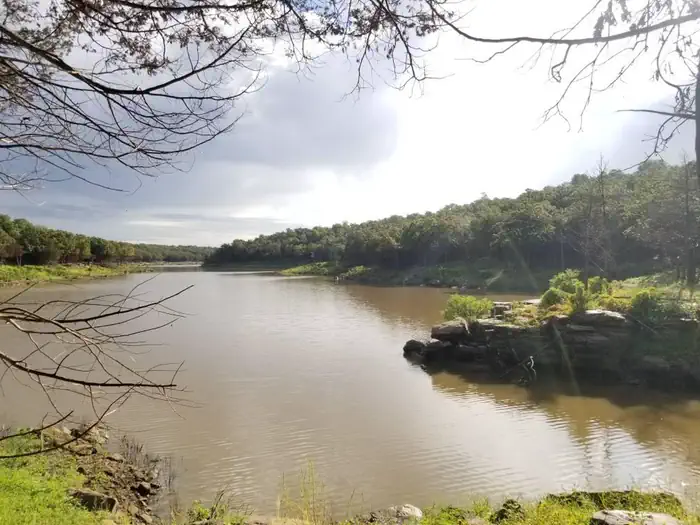
The park is nestled along the Arkansas River, downstream from Keystone Dam. This location is popular for striped bass, white bass, white crappie, and various catfish species.
Nearby Attractions
BOK Center The Gathering Place Tulsa Zoo Jenks Aquarium White Water and Appalachia Bay Off Road Vehicle Areas Multi-purpose trails OneOK Field Downtown Tulsa Turkey Mountain Urban Wilderness Area Various casinos, malls and shopping centers
Typical weather
Air temperature
5-year average · Open-Meteo
Arkansas River
Water: Water Quality Portal — 15 field-sample stations