AhDiNa Campground
Availability
Each day shows how many of this campground’s sites are open.
About this spot
Overview
This location is available on a first-come, first-served basis only. Visitors are required to physically arrive at the campground to purchase and claim a site. Once on-site, you may be able to pay for your campsite(s) by scanning a QR code using the Recreation.gov mobile app, and the Scan and Pay feature. If this option is available, you will need to first download the free Recreation.gov mobile app https://www.recreation.gov/mobile-app prior to your arrival as some remote areas have limited or no cellular service.
Recreation
Current Conditions Please stay safe while near the McCloud River.
Facilities
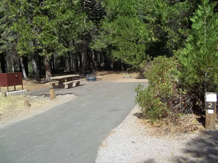
Description: Located on the Lower McCloud River at an elevation of 2300 feet, this remote campground has 16 sites with tables and fire rings, flush toilets, and drinking water. The dirt access road from Lake McCloud is very rough and rocky. Low clearance vehicles, trailers, and RVs are not advised. 14 day limit. $10 per night. No reservations. Generally open May 01- November 1st. According to local lore the site's name is derived from the first two initials of the first names of the three daughters of one of the previous owners. It is pronounced "Uhdeenuh". One word, soft 'A' hard 'E'.
Natural Features
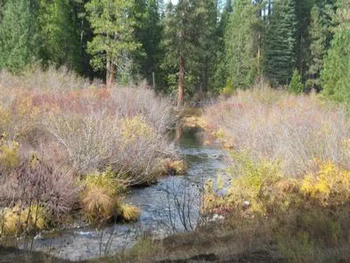
Features: This campground is situated on an historic site used by Native American tribes and various land owners over the years, including the families of Whittier, Fitzhugh, and William Randolph Hearst. Visitors can explore and identify the remains of several buildings, foundations, rock walls, and an orchard that still produces fruit. The Lower McCloud River is a world renown native trout fishery which makes this camp a favorite for anglers. California Fish and Game regulations for this section of river allow only the use of artificial lures with barbless hooks.
Contact Info
This location is unstaffed. To speak with our main office for general information, please call: (530) 926-4511.
Nearby Attractions
AH-DI-NA (2,200' elevation) The PCT, running east from AH-DI-NA campground, parallels the McCloud River but remains well above it with only infrequent views of the river. The river has carved a steep, impressive canyon along this stretch of the trail. It is an enjoyable 2.5 mile hike to Ash Camp. Bald Mountain ridge is a 4.5 mile uphill climb to the west of AH-DI-NA Campground. The trail passes through an oak and Douglas fir forest and a variety of wildlife may be observed. Directions: Follow the road signs to AH-DI-NA Campground 16 miles south of the town of McCloud. The trail crosses the road 0.5 miles north of the campground. Ash Camp (2,400' elevation) AH-DI-NA Campground is a 2.5 mile hike to the west of Ash Camp. To the east, Grizzly Peak is a steady 10 mile uphill climb. This section passes through the Butcherknife Creek and Deer Creek drainages before it tops out along the Grizzly Peak ridge system at 6,000'.
Typical weather
Air temperature
5-year average · Open-Meteo