Each day shows how many of this campground’s sites are open.
About this spot
Overview
This small campground (4 sites) on the South Fork Road is a hub for the nearby network of trails. Explore these ruggedly beautiful mountains in almost any direction, or try your luck fishing in the South Fork of the Salmon River.
This location is available on a first-come, first-served basis only. Visitors are required to physically arrive at the campground to purchase and claim a site. Once on-site, you may be able to pay for your campsite(s) by scanning a QR code using the Recreation.gov mobile app, and the Scan and Pay feature.
If this option is available, you will need to first download the free Recreation.gov mobile app https://www.recreation.gov/mobile-app prior to your arrival as some remote areas have limited or no cellular service.
Recreation
Camp Creek Trailhead is located at this site and is the starting point for the Pheobe Meadow Trail #291 which access Phoebe Meadows.
Facilities
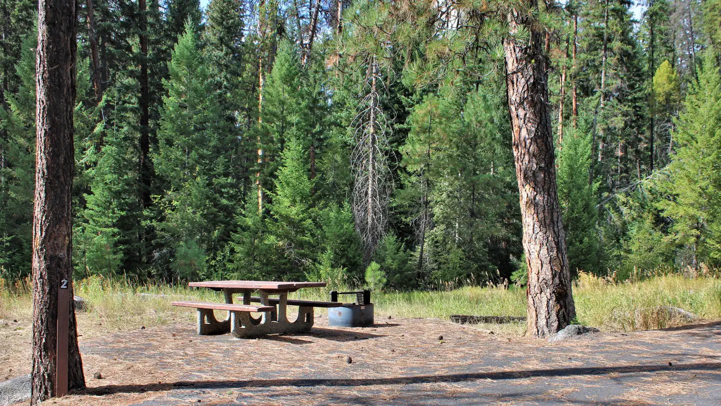
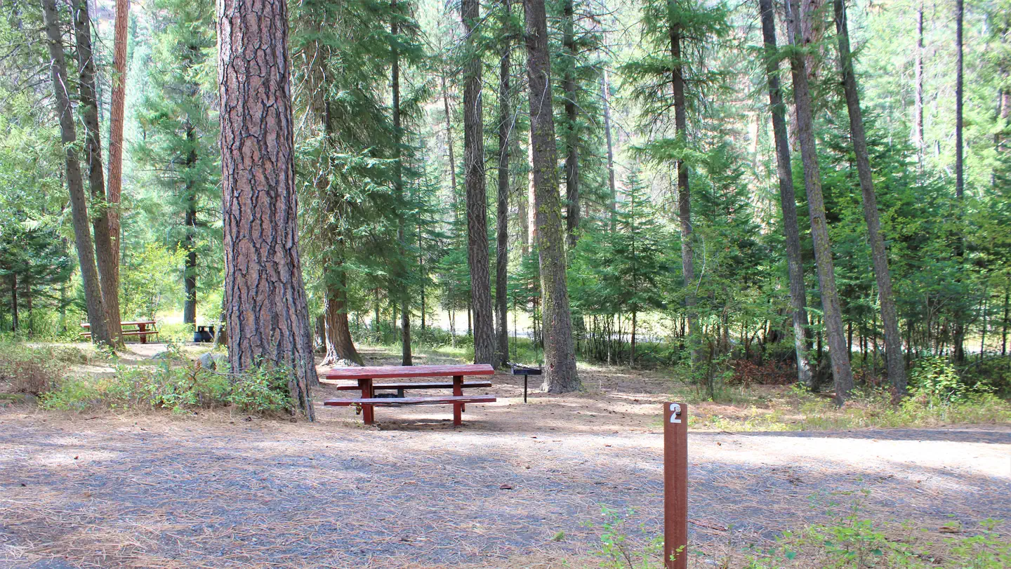
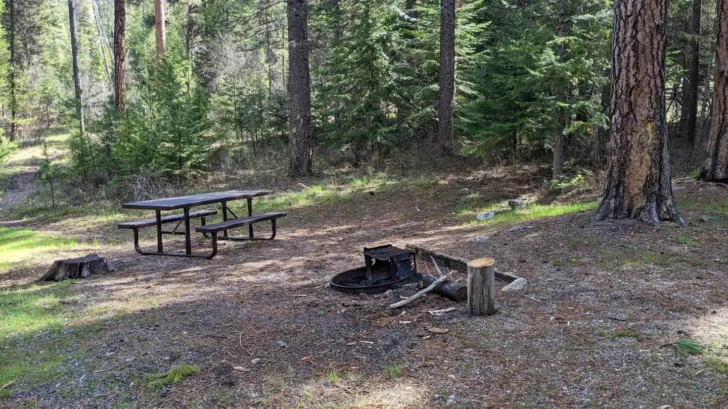
The campground is equipped with a stock loading ramp and hitching rack. There are four campground units with tables, and fire rings. The campground has an outhouse and hiking trail access. No drinking water, no hook-ups. Please pack in/pack out.
Nearby Attractions
Camp Creek Campground is near the Reed Ranch airstrip or twelve miles south of the confluence of the East Fork of the South Fork of the Salmon and the South Fork Road.
Typical weather
Air temperature
Average daily high-low
5-year average · Open-Meteo
South Fork Salmon River
Average water temperature
Water: Water Quality Portal — 37 field-sample stations