Island Campground
Availability
Each day shows how many of this campground’s sites are open.
About this spot
Overview
Located right off of Highway 138 is the small seven-site Island Campground. Enjoy the shade on a summer day and the sounds of the North Umpqua River. There are also many nearby trails to enjoy hiking or mountain biking.
Recreation
Fishing Hiking Water Activities
Facilities
Vault toilet Seven tent/trailer sites Open year-round; first come, first serve Each site has a picnic table and fire ring Maximum trailer length: 24 feet
Natural Features
Visitors to the Umpqua National Forest are often taken aback by the unique landscapes of southwestern Oregon. High Cascades glaciation, whitewater rapids, and explosive geologic events have shaped the distinctive landscape on the 983,239 acres of forest that provides spectacular scenery as well as an abundance of natural and cultural resources. Verdant stands of hemlock, fir and cedar transition to forests of mixed conifers and hardwoods at lower elevations, while alpine ecosystems dominate high peaks. The translation of the word "Umpqua," meaning "thundering waters," defines the area. The Forest's waterways and diversity create desirable habitats for many species of fish and wildlife, in addition to providing outstanding recreational opportunities to our local communities and visitors.
Contact Info
For facility specific information, please call (541) 440-4930.
Nearby Attractions
Mott and Panther segments of the North Umpqua Trail #1414 Canton Creek Falls Trail #1537 Bradley Ridge Trail #1551 Steamboat Falls
Charges & Cancellations
This is a Scan and Pay campground. There are no refunds, modifications, cancellations, or other fee changes allowed with Scan and Pay payments. This system is the same as putting cash into a fee tube and cannot be refunded.
Typical weather
Air temperature
5-year average · Open-Meteo
North Umpqua River
Water: Water Quality Portal — 35 field-sample stations
Nearby campgrounds
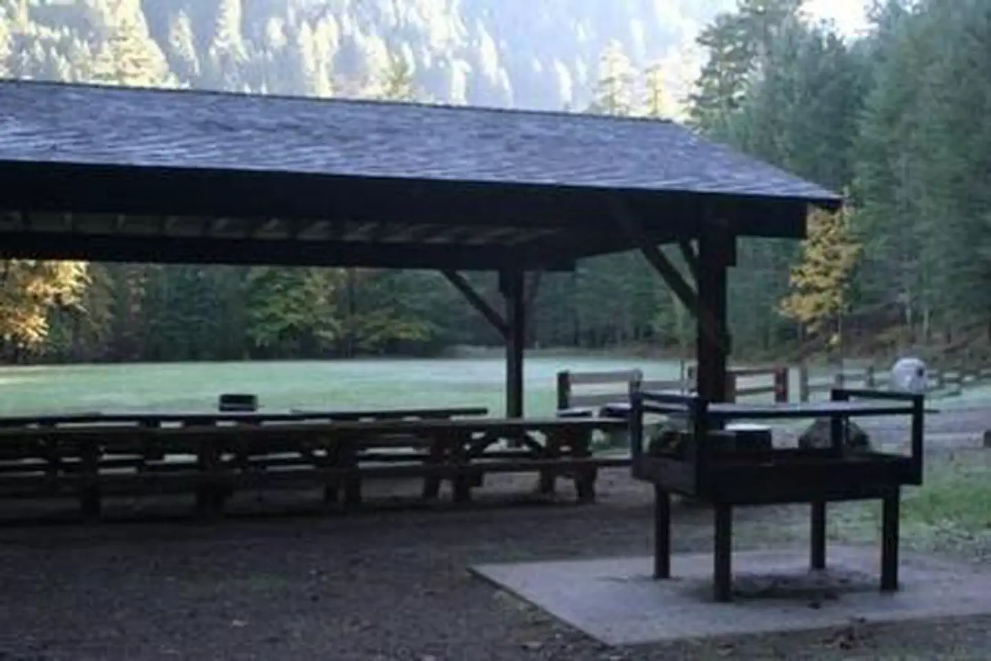
Steamboat Ball Field Group Site
Glide, OR
Less than 1 mi away
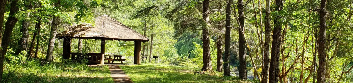
Canton Creek Campground
Glide, OR
Less than 1 mi away
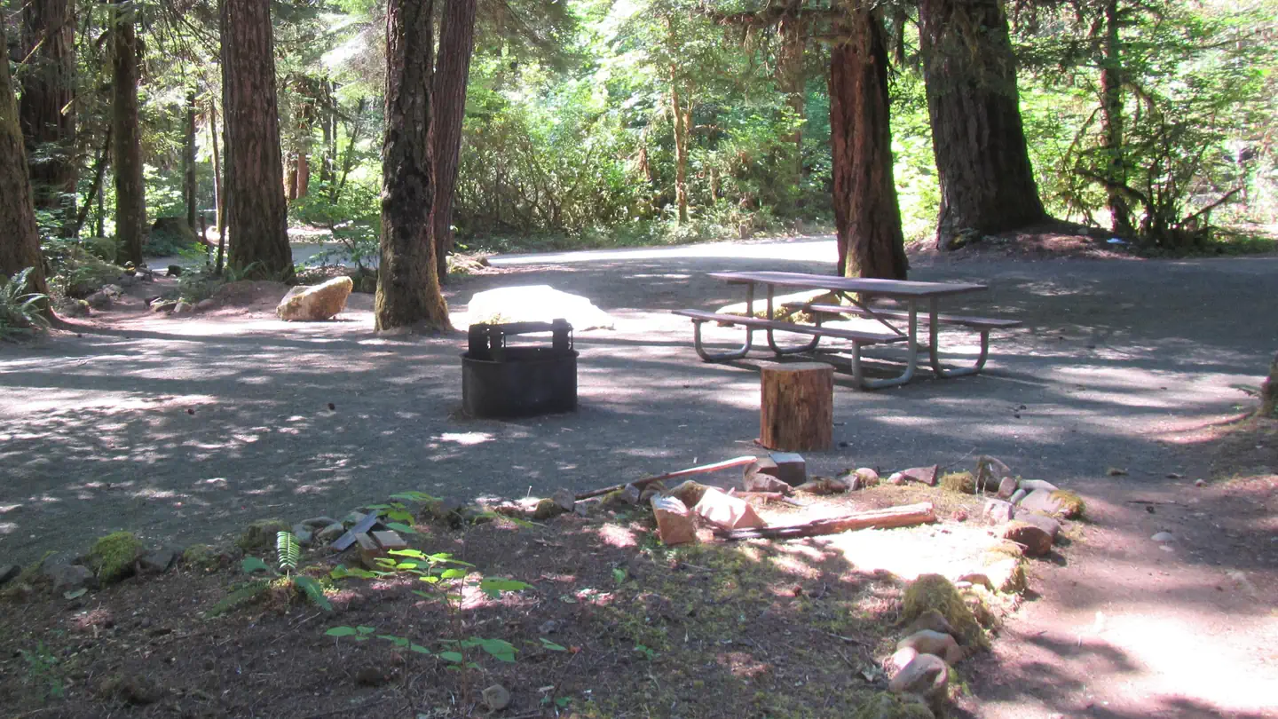
Scaredman Recreation Site
Roseburg, OR
3 mi away
Bogus Creek Campground
Glide, OR
4 mi away
Steamboat Falls Campground
Roseburg, OR
5 mi away
Deer Flat Group Site (Horseshoe Bend Campground)
Glide, OR
6 mi away