Silver Falls Group Site
Availability
Each day shows how many of this campground’s sites are open.
About this spot
Overview
Silver Falls Group site sits in a forested, mountain terrain on the banks of the Entiat River within the Silver Falls Campground. This is one of the more popular sites on the Entiat Ranger District. The cascading water of Silver Falls is a draw for many visitors to this particular area, which is especially refreshing in the summer heat. The Silver Falls National Recreation Trail is an exceptional family friendly hike that takes you up, around and down the falls. Panoramic views of the surrounding mountains await you on your hike.
Recreation
Silver Falls Campground is a great base camp for a variety of outdoor recreational activities. Anglers enjoy casting a line into the Entiat River above Entiat Falls, about 2.5 miles up-river from the campground. Carving through a wide, U-shaped valley, the river is dominated by relatively shallow riffles interspersed with pools, plunge pools and glides where the trout fishing is quite good. Populations of rainbow, cutthroat and eastern brook trout are found in this tributary. Selective gear rules apply to fishing in the Entiat River. See Washington Department of Fish and Wildlife for fishing rules and regulations. Silver Falls National Recreation Trail offers a 1.8 mile hike next to one of the most beautiful waterfalls in the region. The trail winds along Silver Creek to the base of the falls, through towering canopies of cedar and pine. The handcrafted stone staircase and bridges along this trail offer stopping points and panoramic views of the surrounding mountains. The Silver Falls Trail is an exceptional family friendly hike that takes you up, around and down the falls. The elevation gain is approximately 600 feet.
Facilities
Silver Falls Campground offers one group site with a historic C.C.C. covered cooking area, that is reservation only, and 31 first-come, first-served single sites. Each site contains a picnic table and campfire ring. Multiple vault toilets, garbage service, and a solar pump at the guard station with potable water are provided during the main summer season. If the trash cans are full, please pack out any extra trash produced greater than what the cans can accommodate.
Natural Features
The Okanogan-Wenatchee National Forest offers stunning scenic vistas, high elevation alpine peaks, valleys of old growth forest and rugged shrub-steppe country that makes up the diverse landscape. Elevations range from below 1,000 feet to more than 9,000 feet. The surrounding forest provides excellent habitat for a wide range of wildlife. Visitors may catch glimpses of mule deer, elk, bald eagles, and a variety of woodpeckers and owls. Visitors can expect many days of warm, sunny weather in the summer, and winters with clear skies and plenty of snow.
Contact Info
For facility specific information, please call (509) 784-4700.
Nearby Attractions
At Entiat River Road mile marker 27.8 is Box Canyon. This geological formation is about 65 million years in the making and the chasm spans a run of about 500 feet and ranges from 75-150 ft. deep. Fish Tail Falls can be observed from the view point running over, under and through a pile of large boulders, cascading another 15 feet. At times you can see salmon in this pool. Approximately 3 miles north on Entiat River Road from Silver Falls is Entiat Falls. This broad 25 foot cascading natural waterfall makes quite a rejuvenating impression. Bring a picnic lunch or just stretch your legs and enjoy. Take precaution as the river rock can be very slick. Ardenvoir is the closest town within 20 miles. Entiat is 29.5 miles away.
Typical weather
Air temperature
5-year average · Open-Meteo
Entiat River
EstimatedNearby campgrounds
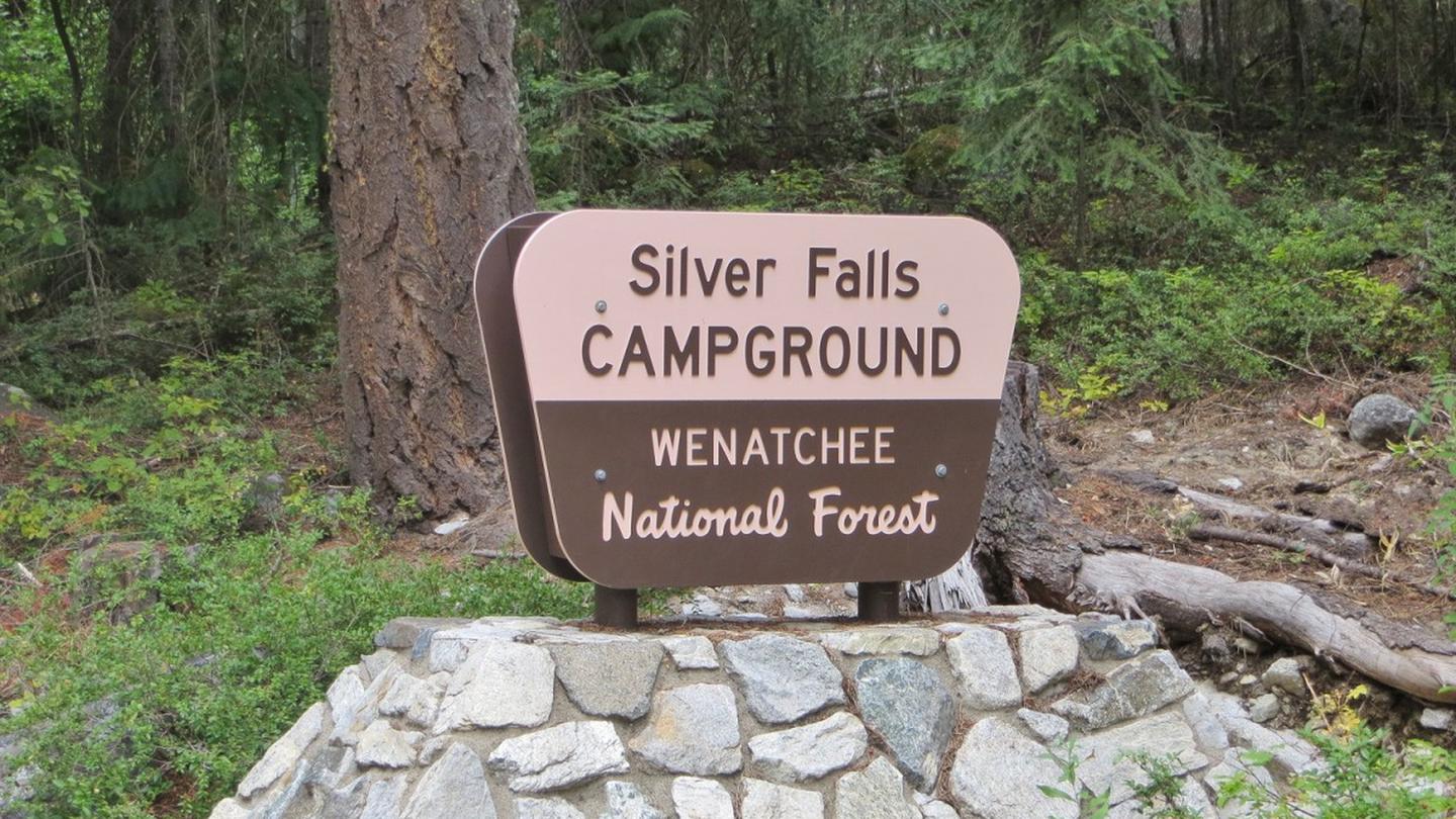
Silver Falls Campground
Entiat, WA
Less than 1 mi away
Lake Creek Campground - Entiat River
Entiat, WA
2 mi away
Fox Creek
Entiat, WA
3 mi away
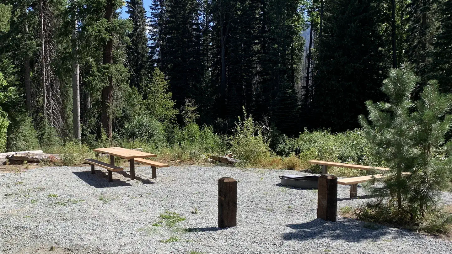
Three Creek Group Site - Okanogan-Wenatchee NF
Entiat, WA
5 mi away
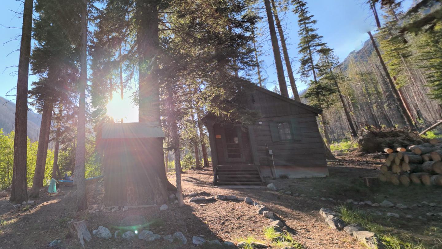
Cottonwood Cabin
Entiat, WA
6 mi away
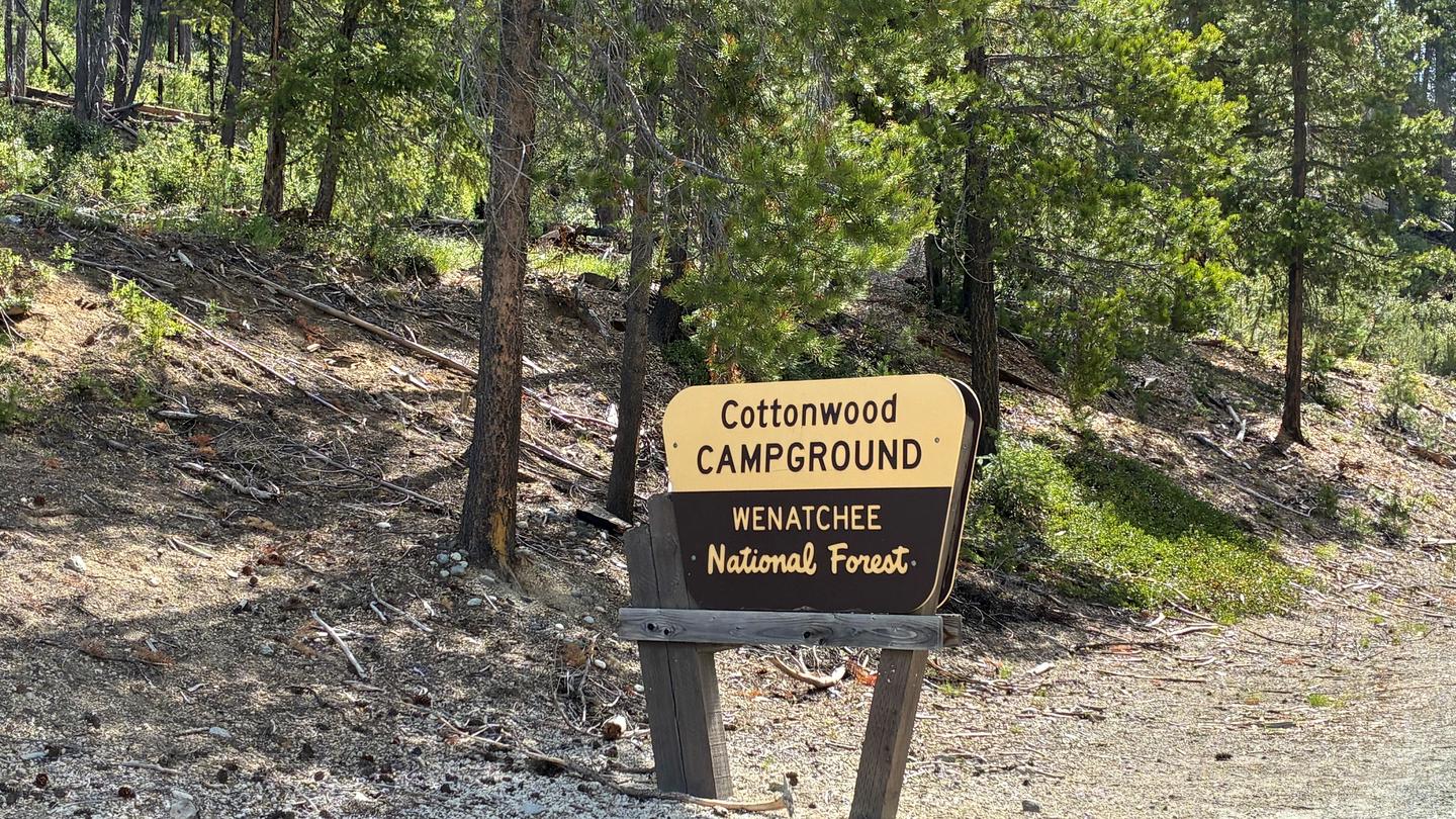
Cottonwood Campground - Entiat Ranger District
Entiat, WA
6 mi away