Bentonville, VA
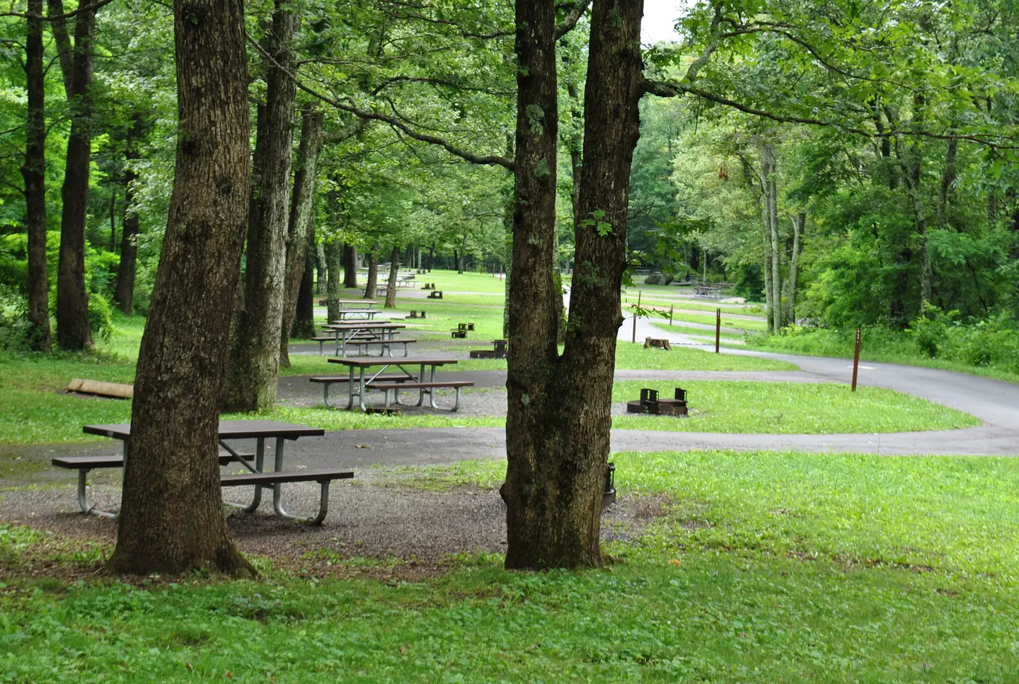
Shenandoah River State Park — River Right Campground
Availability
Each day shows how many of this campground’s sites are open.
About this spot
The park is 1,604 acres with 5.6 miles of river frontage along the south fork of the Shenandoah River. The rolling, mountainous land features steep slopes and is mostly wooded. In addition to meandering river frontage, the park offers scenic vistas overlooking Massanutten Mountain to the west and Shenandoah National Park to the east. This park offers the following facilities year-round: camping, camp cabins, full-service cabins and one 6-bedroom large cabin/retreat.
Typical weather
South Fork Shenandoah River
Average water temperature
Water: Water Quality Portal — 57 field-sample stations
Nearby campgrounds

Shenandoah River State Park — EW Campground
Bentonville, VA
Less than 1 mi away
Shenandoah River State Park — Cabins and Lodge
Bentonville, VA
1 mi away

Elizabeth Furnace
Fort Valley, VA
5 mi away

Elizabeth Furnace Group Camp
Fort Valley, VA
5 mi away
Mathews Arm Campground
Luray, VA
7 mi away

Sky Meadows State Park — Backcountry Hike-in Campground
Delaplane, VA
20 mi away