Mount Tamalpais SP — S Rav Cabin Area
Availability
Each day shows how many of this campground’s sites are open.
About this spot
Just north of San Francisco's Golden Gate is Mount Tamalpais, 6,300 acres of redwood groves and oak woodlands with a spectacular view from the 2,571-foot peak. On a clear day, visitors can see the Farallon Islands 25 miles out to sea, the Marin County Hills, San Francisco and the Bay, hills and cities of the East Bay, and Mount Diablo. On rare occasions, the Sierra Nevada's snow-covered mountains can be seen 150 miles away. Coastal Miwok Indians lived in the area for thousands of years before Europeans arrived. In 1770, two explorers named the mountain La Sierra de Nuestro Padre de San Francisco, which was later changed to the Miwok word Tamalpais. With the Gold Rush of 1849, San Francisco grew; and more people began to use Mount Tamalpais for recreation. Trails were developed, and a wagon road was built. Later, a railway was completed and became known as the Crookedest Railroad in the World It was abandoned in 1930 after a wildfire damaged the line.
Typical weather
Water
Water: Water Quality Portal — 99 field-sample stations
Nearby campgrounds

Mount Tamalpais SP — S Rav Camp Area (sites E1-E7)
Mill Valley, CA
Less than 1 mi away
Mount Tamalpais SP — Frank Valley Horse Camp
Mill Valley, CA
2 mi away
Mount Tamalpais SP — Alice Eastwood Group Camps
Mill Valley, CA
3 mi away
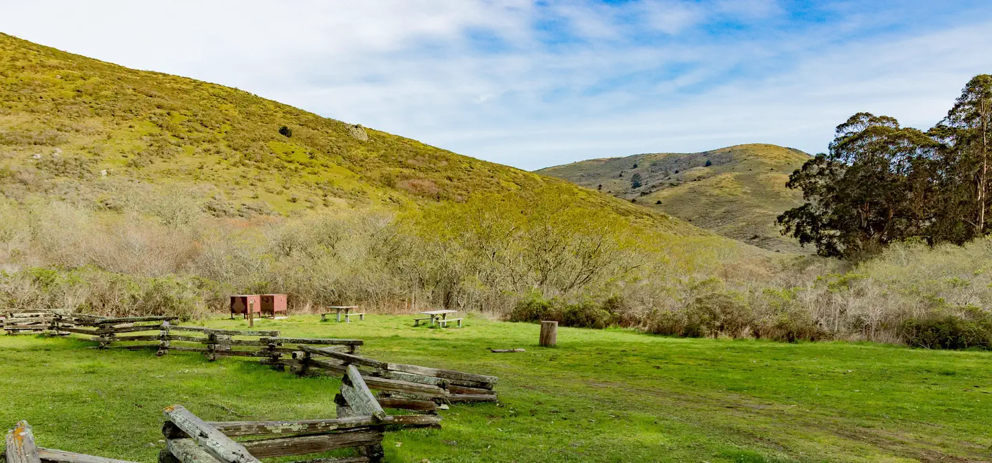
Haypress Campground
Sausalito, CA
5 mi away
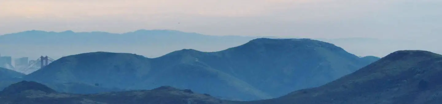
Hawk Campground
Sausalito, CA
6 mi away
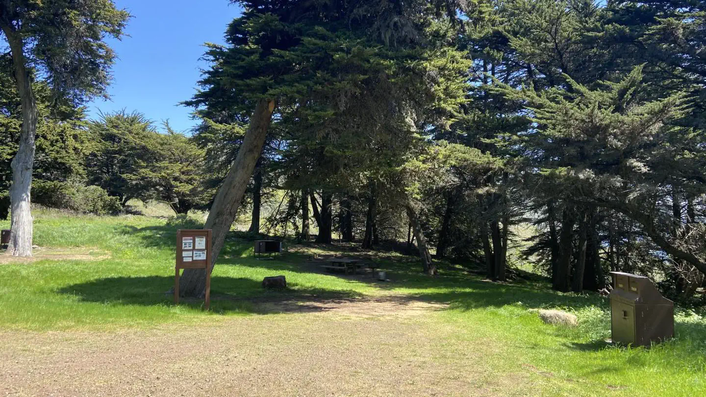
Bicentennial Campground
Sausalito, CA
7 mi away